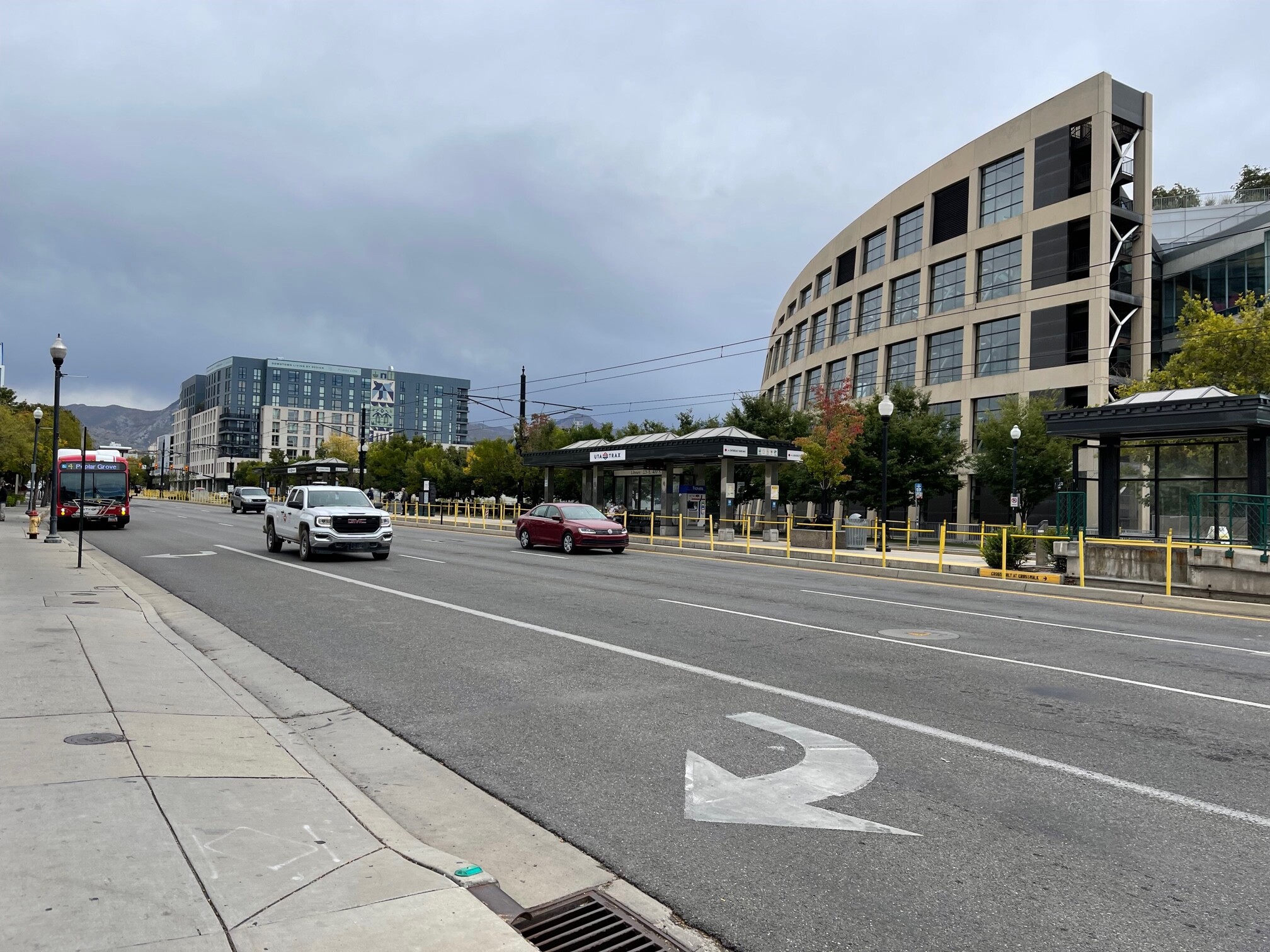
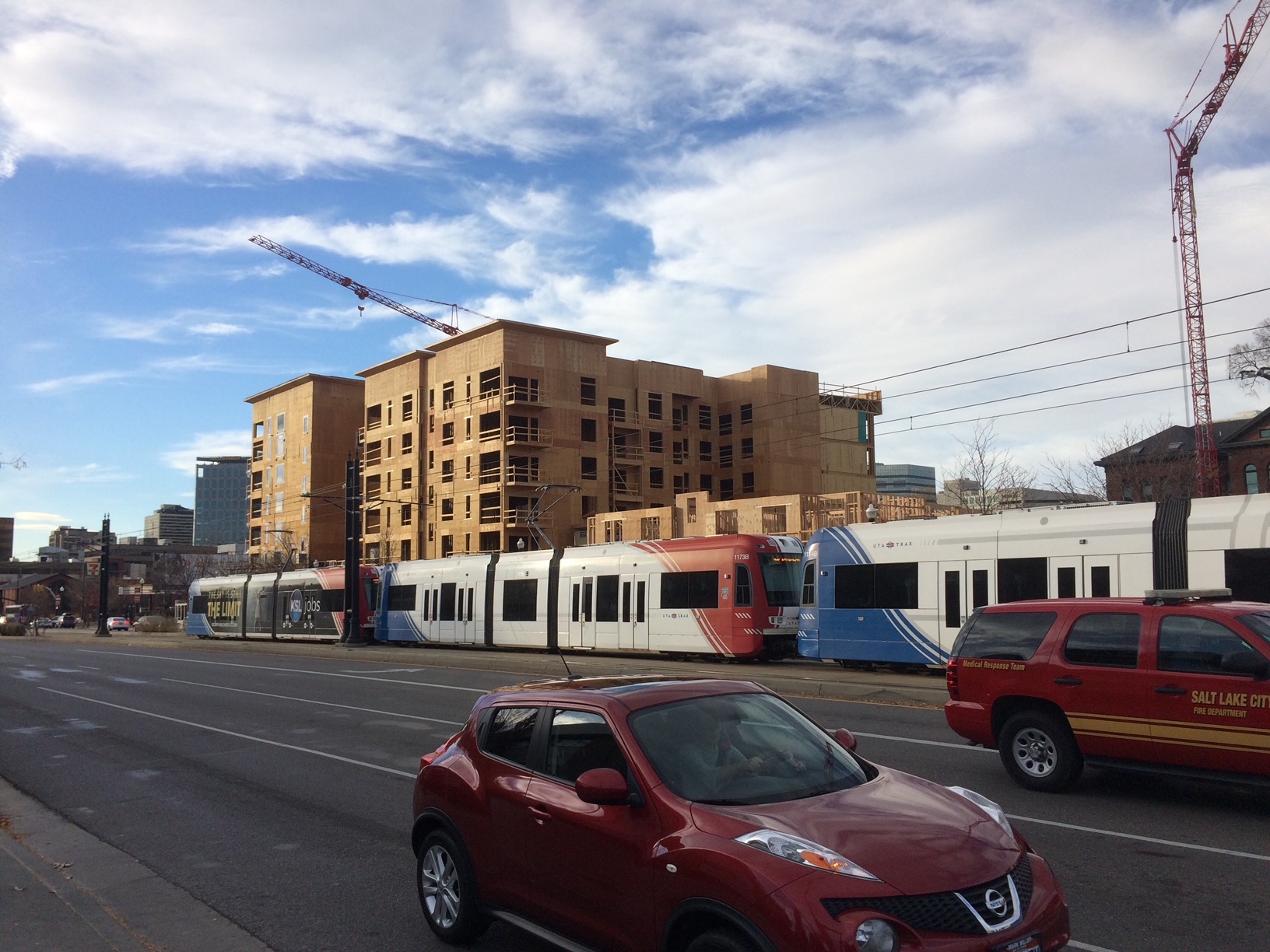
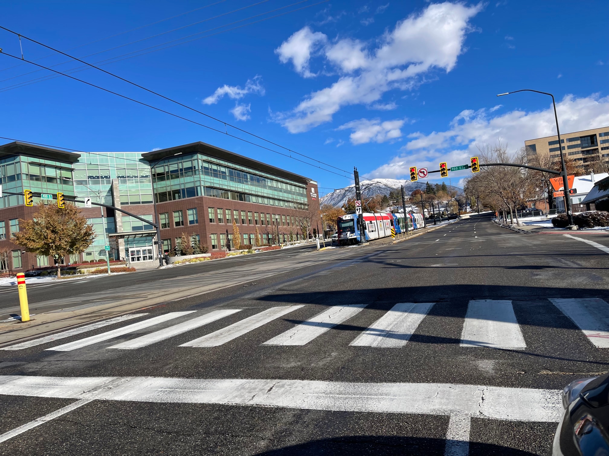
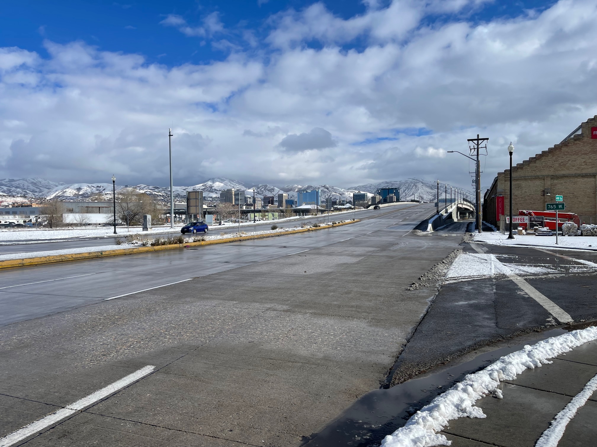
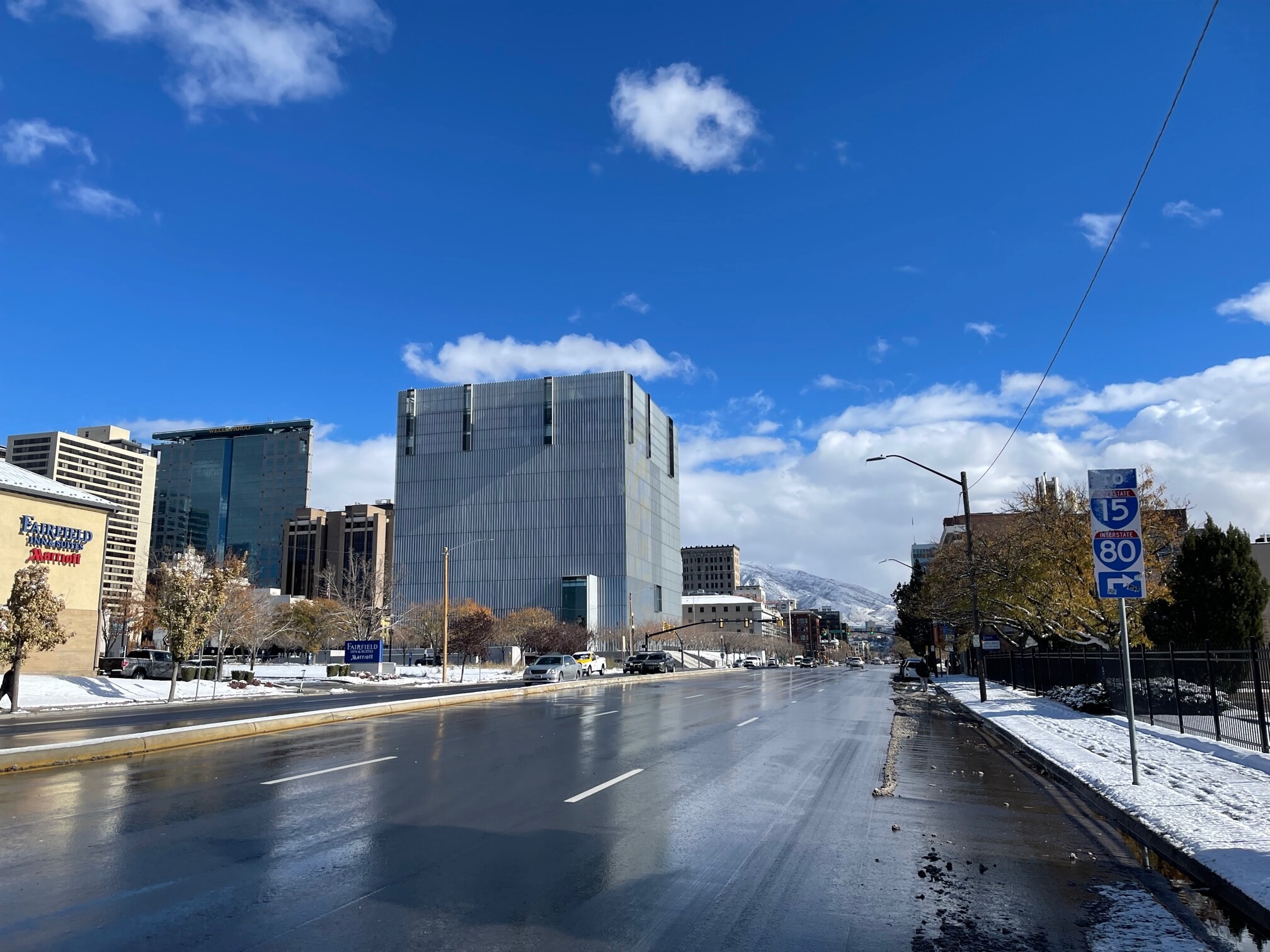
400 South in Salt Lake City, Utah has undergone a transformation since the installation of the TRAX line in 2001 in time for the 2002 Olympic Games. The street is an example of Transit Oriented Development (TOD). Since then, many new apartment buildings have gone up, a new Federal courthouse built in 2014 (https://en.wikipedia.org/wiki/Orrin_G._Hatch_United_States_Courthouse ), and renovations and upgrades to the majestic Salt Lake City and County Building. Salt Lake City’s fantastic library sits on the corner of 200 East and 400 South, and a new public safety building is just to the east of the library. Yet the street is dead.
What’s wrong?
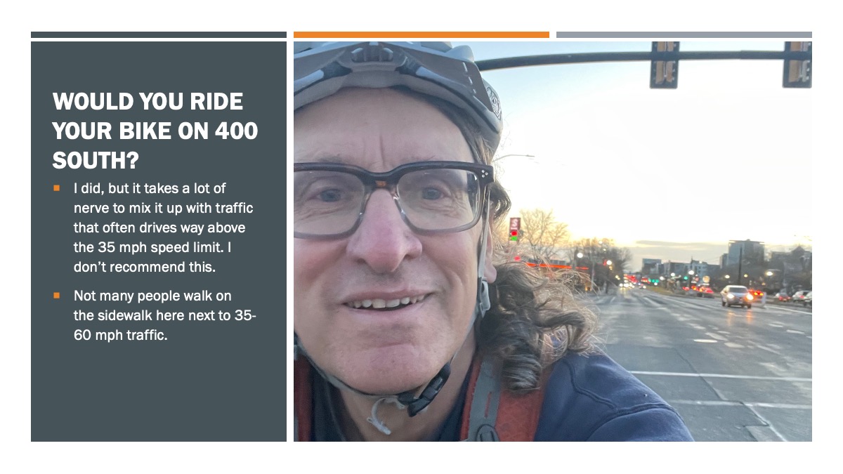
The street should be hopping. Everything (almost) is there for vibrancy, people, and economic development. Yet, it’s a pedestrian obstacle course and a stroad (street-road) where only the brave cyclist dares to venture. I rode this once and had a car pass me on the right in the outermost travel lane! No wonder Dunkin’ Donuts was dunked out.
A traffic study from 2014 (https://www.fox13now.com/2014/07/19/study-traffic-on-400-s-down-nearly-10000-cars-a-day-thanks-to-trax ) showed that TRAX contributed to a drop of about 10000 cars a day after it was built, then rising a few thousand to 27599 in 2018 (https://www.sltrib.com/news/2021/01/09/why-there-are-fewer-cars/ ) .
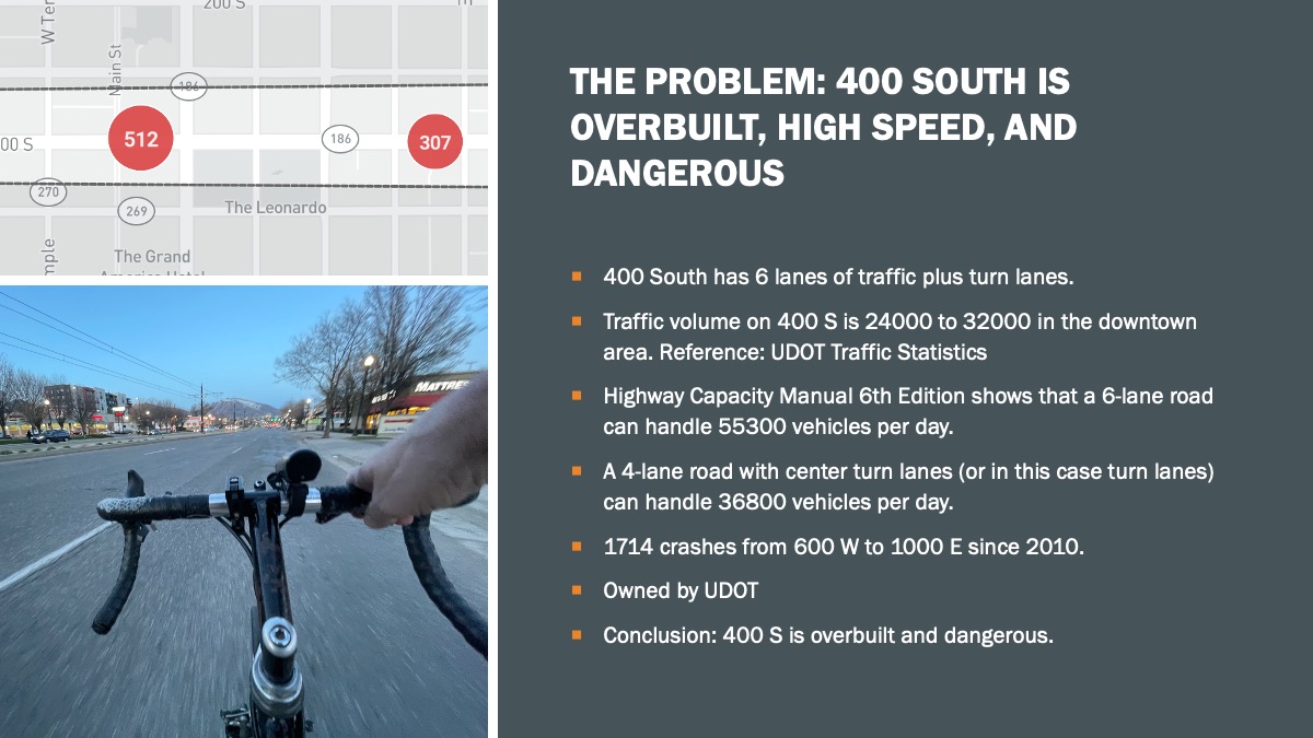
The street has 6 lanes of car traffic, turn lanes, and an east-west TRAX line. Like most streets in Salt Lake City, it’s overbuilt, and there’s no justification for 3 lanes of traffic in each direction unless you consider UDOT’s argument of preserving potential, but unknown, future needed capacity.
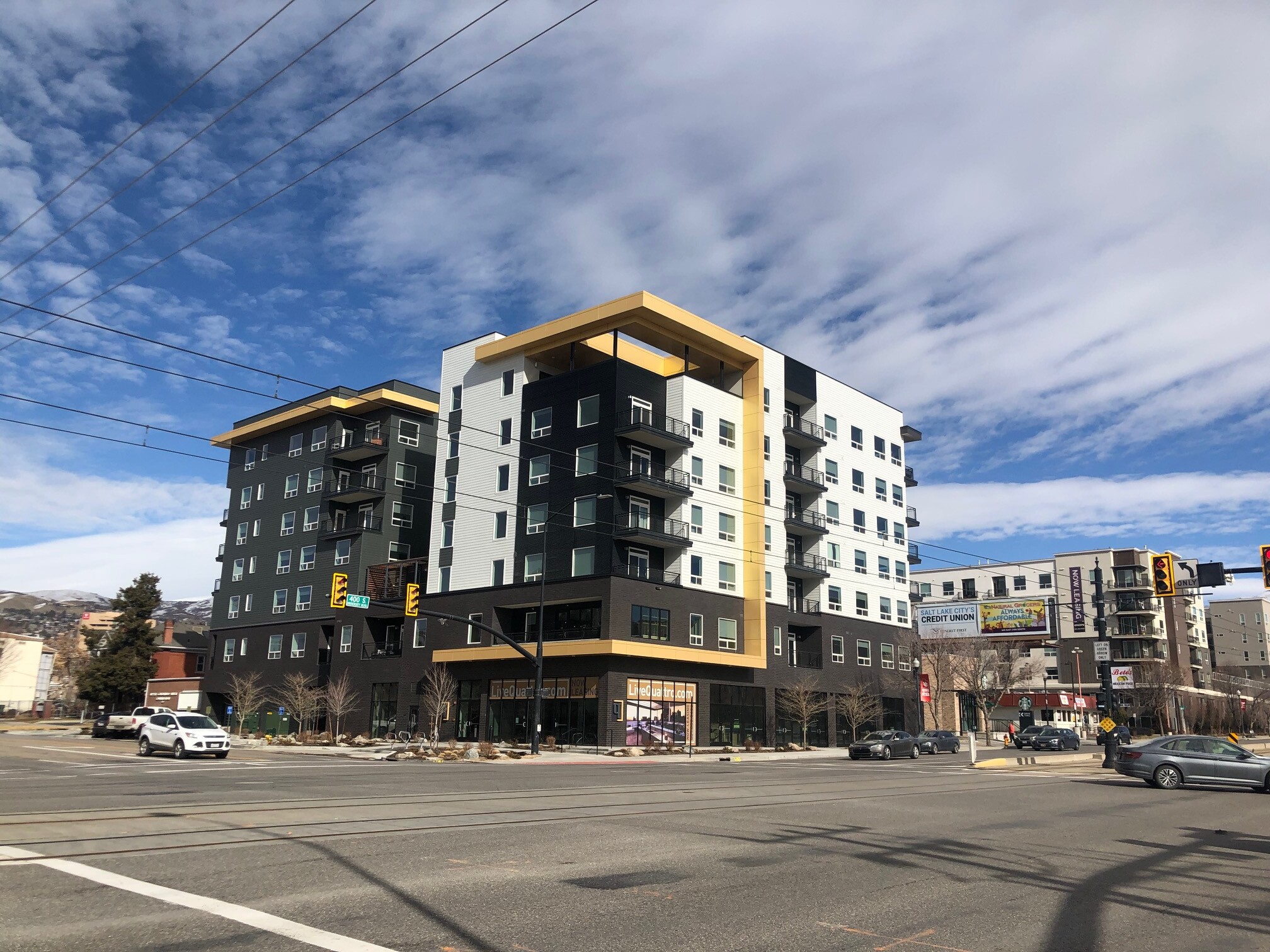
Meanwhile, Salt Lake City residents suffer under the tyranny of an unsafe, overbuilt street that does nothing to activate retail on the street, nor does it make it safe for the ever-growing residential population of the corridor. With another new apartment complex just announced (https://buildingsaltlake.com/bye-bye-betos-400-south-continues-its-transformation-to-residential-with-156-unit-project/ ), and the demise of Beto’s Mexican Restaurant, more residents are coming to the street, but counter to the goals of a TOD, they are stuck on a street that is unsafe for biking and walking, and pretty much requires the use of a car. The new 156-unit building will have space for 153 more cars, and apparently no ground level retail. Why would any savvy developer want to build ground level retail when the street next to it is a highway?
A Plan for a Better 400 South
Cycling Utah is calling for a reconfiguration of 400 South to one that is more inviting, safer, more sustainable, and of greater economic value.
According to the Highway Capacity Manual 6th Edition (from https://www.mikeontraffic.com/numbers-every-traffic-engineer-should-know/ ), a 6-lane road is appropriate for traffic volumes of 55,300 vehicles a day, about twice the capacity needed on 400 South. A 4-lane street with center turn lanes can handle 36,800 vehicles a day, still more than what is needed.
So, the first step on the corridor would be to reduce the lane number from 6 to a maximum of 4. What then?
400 South Needs Barrier Protected Bike Lanes
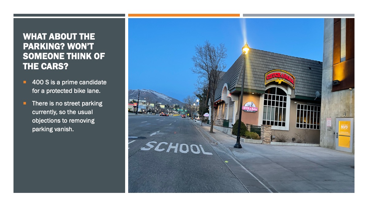
400 South has no street parking, and so it lends itself to the immediate installation of barrier protected bike lanes, one in each direction that utilize the width of a current traffic lane.
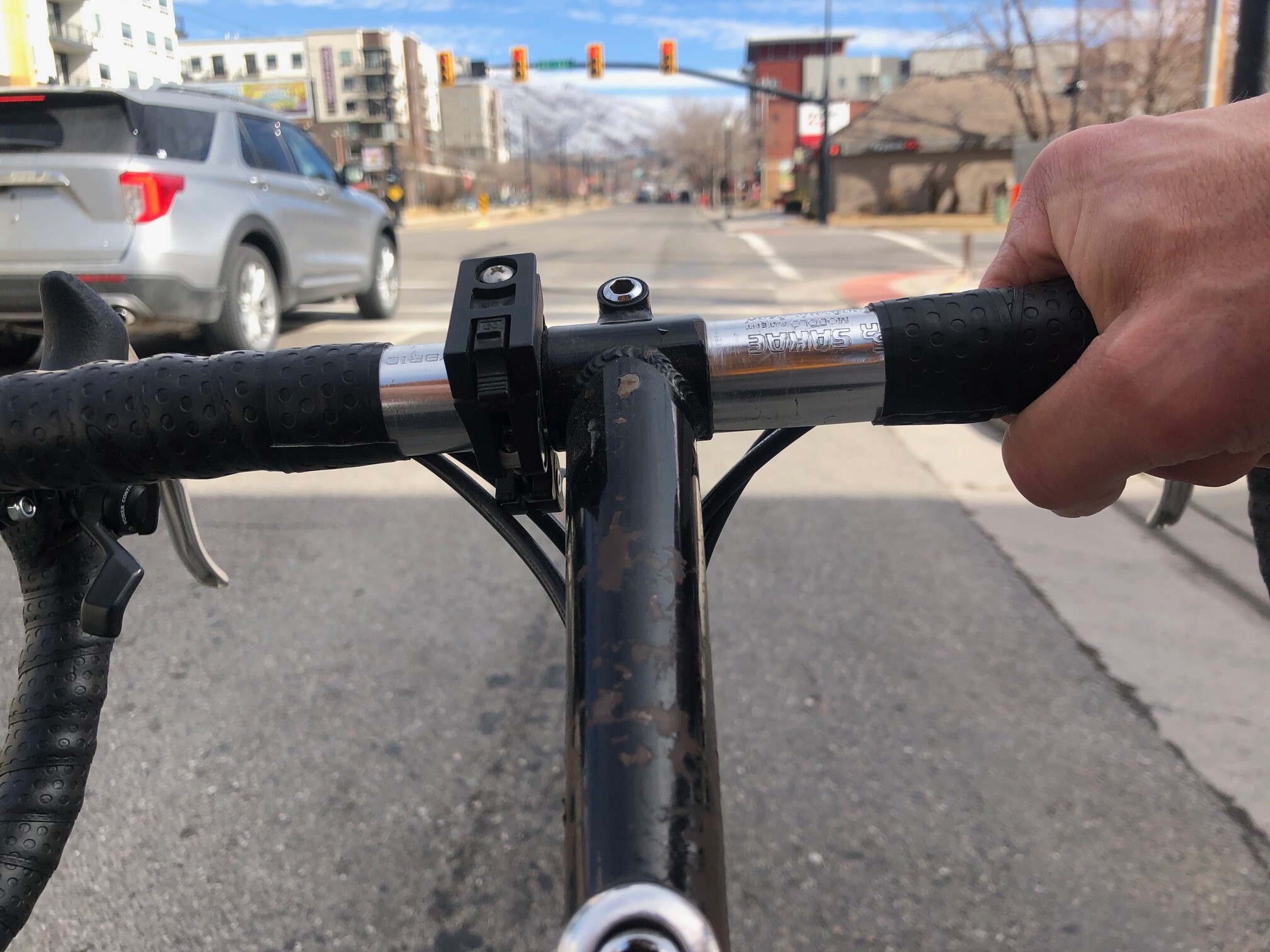
The protected bike lanes would have the effect of making the road safer for all users by right sizing the number of traffic lanes, reducing the speeds of cars, and making the walk across the street much less stressful.
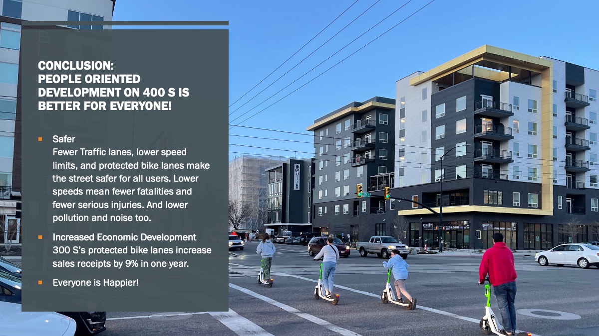
Protected bike lanes increase economic activity too. Salt Lake City conducted a study on 300 South after the protected bike lanes were installed and found that sales receipts increased by approximately 9% and cycling increased by 30%. (http://www.slcdocs.com/transportation/Project/300South/300SouthProgressReport.pdf )
Transit works best when people can easily get to a bus or light rail stop. UTA, just now embarking on a first ever Active Transportation Study to look at how people on bikes and foot get to transit, would benefit greatly since it would be much safer to get to the TRAX stops on 400 South.
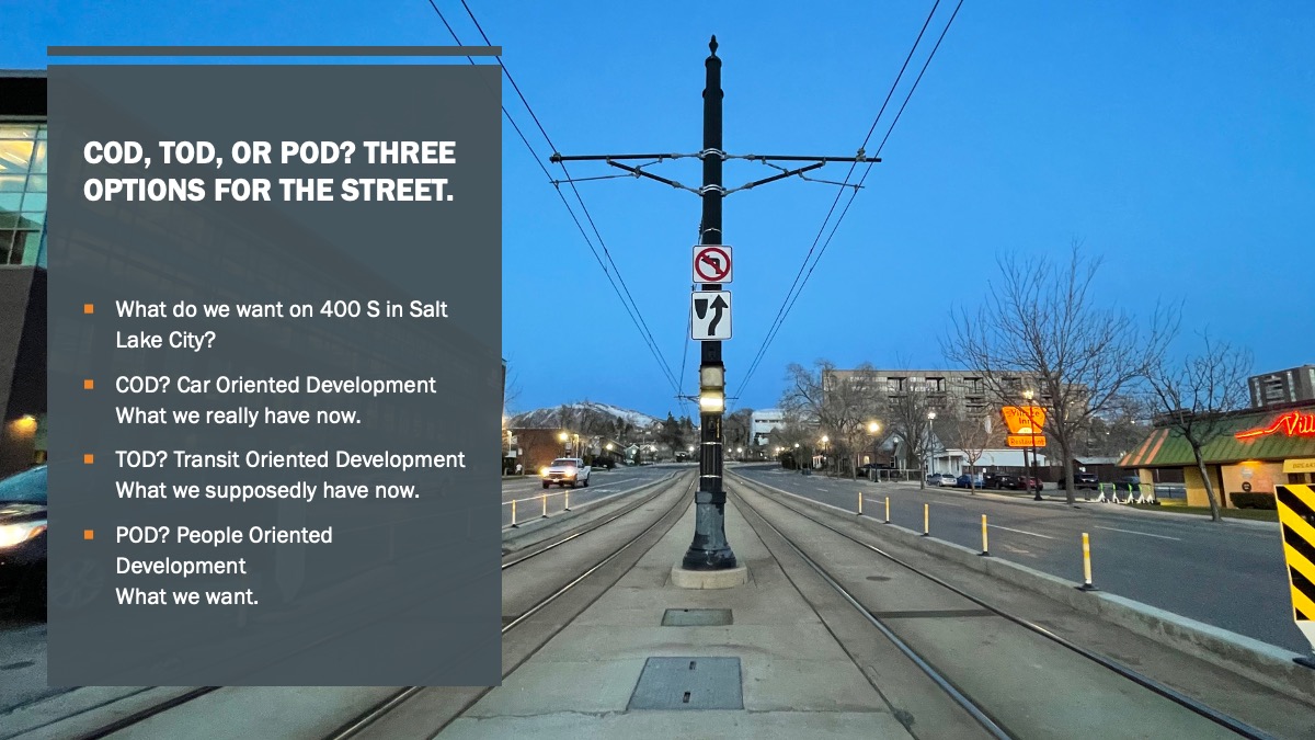
Transit Oriented Development has led to the construction of tons of new housing here, yet in our view, TOD here is a complete failure. It does not take people into account and just looks at increasing the number of buildings and increasing economic activity by supporting the construction industry and the car industry. It falls flat when viewed from a people perspective of living and working on the street.
From UTA’s website, we learn what a TOD should be:
“It is development that is: compact, vibrant, mixed-use, walkable, formed around a well-connected street grid, connected to other areas of the region via high-capacity transit, and designed with the station as a prominent center.
“TODs are destinations designed for people and reflect the core values and priorities of the community. They occur within the existing urban context and compliment the surrounding area. They act as gathering places, designed at a human scale, both intuitive and comfortable. Streets, paths, buildings, open space, and other aspects of the environment are organized to optimize access to and from public transit, making it convenient for people to get where they want to be. TODs may become economic generators for their communities because of their variety and intensity of land use.
“By optimizing land use and accessibility, Transit-Oriented Development decreases traffic congestion, improves air quality and public health, lowers the cost of living, and makes opportunities more accessible. (http://tod.org/)”
400 South fails in that it is not a destination designed for people. It’s clearly designed for cars and thus subpar in how it could encourage transit use and active transportation use.
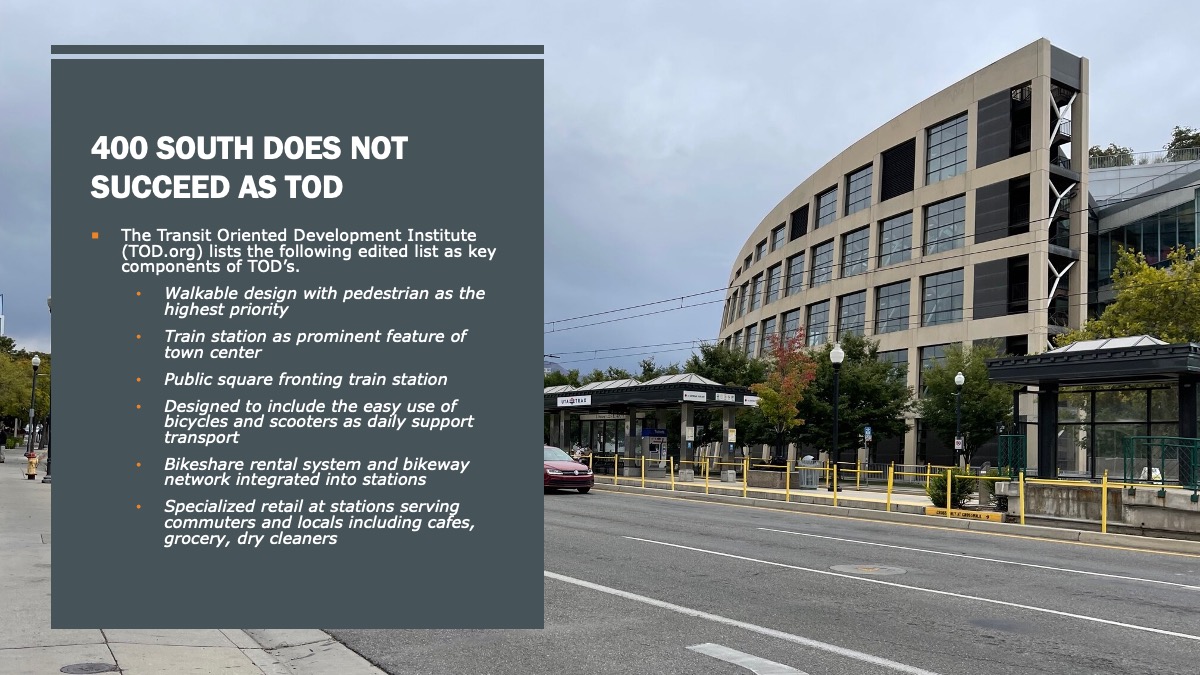
The Transit Oriented Development Institute (TOD.org) lists the following as key components of TOD’s:
-
- Walkable design with pedestrian as the highest priority
- Train station as prominent feature of town center
- Public square fronting train station
- A regional node containing a mixture of uses in close proximity (office, residential, retail, civic)
- High density, walkable district within 10-minute walk circle surrounding train station
- Collector support transit systems including streetcar, light rail, and buses, etc.
- Designed to include the easy use of bicycles and scooters as daily support transport
- Large ride-in bicycle parking areas within stations
- Bikeshare rental system and bikeway network integrated into stations
- Reduced and managed parking inside 10-minute walk circle around town center / train station
- Specialized retail at stations serving commuters and locals including cafes, grocery, dry cleaners
400 South has none of these.
Utah Transit Authority’s own tool (https://www.rideuta.com/Doing-Business/Transit-Oriented-Development/TOD-Web-Tool) shows that the stations along 400 South are generally low-scoring with stations scoring at well below their own low station average of .25/1.0.
What else does the corridor need?
400 South has many outdated shopping centers that essentially require a car to access. Most of the shopping centers, pharmacies, grocery stores, and banks have large parking lots bordering the street which are uninviting to pedestrians and bicyclists. Few of these complexes have bike racks, or if they do, they are of the wheel bender variety, or have been removed altogether apparently to keep out those scofflaw cyclists (who spend their money at the stores just like people in cars do).
The few highlights on the street such as The Green Pig, Salt Lake Coffee Break, and Doki Doki suffer with lack of good access from foot traffic because of the pathetic lack of planning and lack of vision from both UDOT and Salt Lake City. Other hot spots like The Tin Angel, and much of the shops from 300 West to State Street have moved or turned over; except of course the hopelessly undersized state-run liquor store on 200 West.
A shift to having the stores be streetside and the parking lot in the back would help activation and bicycle and pedestrian friendliness. The same goes for the plethora of cookie-cutter apartment buildings going in, most of which have non-descript ground level nothingness. This change will of course years, or even decades, but could be moved along by Salt Lake City with incentives to redevelop the corridor.
Reducing the speed limit to 25 mph in conjunction with a removal of traffic lanes would further the safety of cyclists and pedestrians, as would ensuring that the travel lanes are 10-feet wide only. UDOT recently repaved a section from 300 West to State Street (https://www.udot.utah.gov/projectpages/f?p=250:2007:0::NO:2007:P2007_EPM_PROJ_XREF_NO,P2007_PROJECT_TYPE_IND_FLAG:14507 ) and left the lanes at 11-feet, 12-feet, and extra wide despite evidence (and requests from Cycling Utah) that narrower travel lanes are safer. Salt Lake City did absolutely nothing to work with UDOT on this stretch to improve safety.
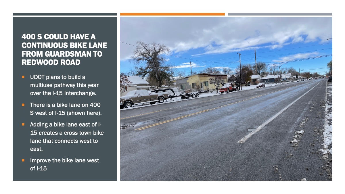
One bit of good news on the corridor is an upcoming shared use path on the 400 South overpass over I-15. While we don’t have details on this project, we believe that it is coming in 2023, and will improve access over the freeway for bicyclists and pedestrians. Unfortunately, this progressive thinking isn’t planned to any greater extent.
In the downtown area, Salt Lake has the following highways: 300 West, 400 South, 500 South, 600 South, 700 East, State Street, West Temple, and 800 South. Isn’t that just a few too many highways in the center of Salt Lake City?
Video Presentation for A Better 400 South:
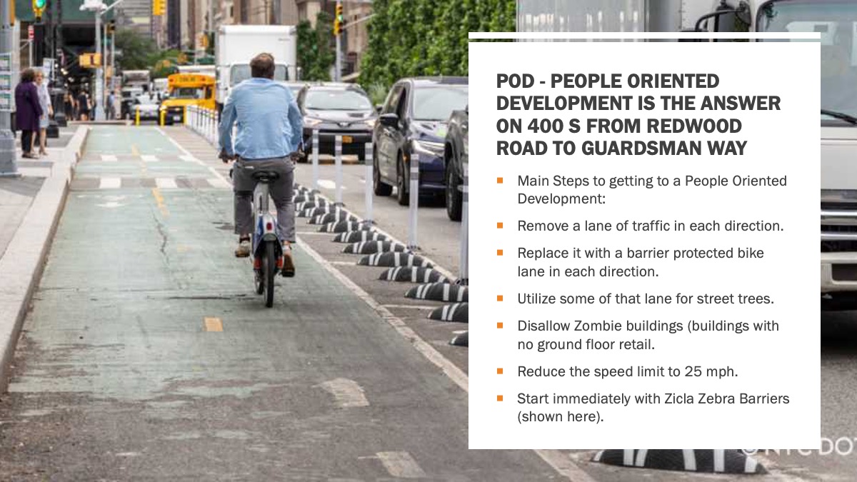
Summary: A Better 400 South would have People-Oriented Development:
-
- Create a 400 South corridor plan from at least Redwood Road to Guardsman Way.
- 400 South is University Boulevard, yet the only connection to the University of Utah is that it speeds by Rice Eccles Stadium (which itself does little to encourage alternative transportation to and from the games).
- Remove at least 2 travel lanes and replace with a barrier protected bike lane. This would be easy to do since there are no parking spots along most of 400 South.
- Reduce the speed limit to 25 mph.
- Reduce lane widths to 10 feet.
- Change future zoning to require streetside front doors for retail. In the meantime, encourage streetside businesses such as food trucks or popup florists in the large parking lots near 600 East.
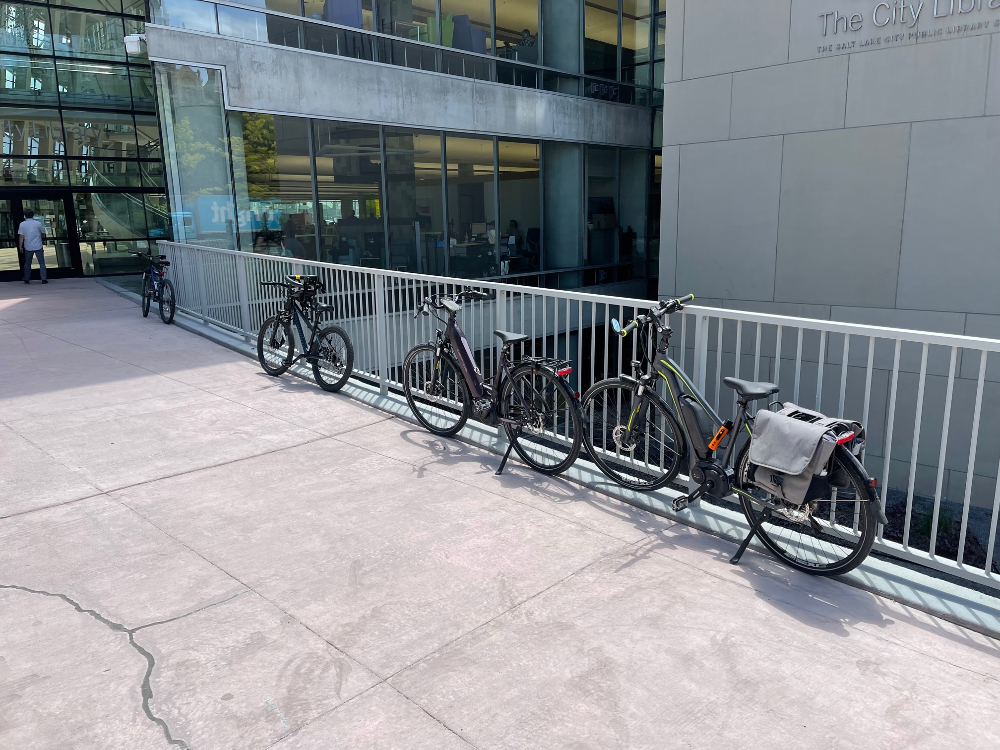
- Work with current retail destinations to install usable bike racks. And, work with the Salt Lake City Main Library which has decorative, but subpar bike racks.
- Work to activate the ground floors of the numerous zombie buildings, especially the new apartments at about 400 East. This of course would be easier with more pedestrian and bike traffic.
- Work to reconfigure the cross streets of 400 South. Almost all of them need help to become more people friendly, but Salt Lake City could start with 200 East which runs between the City/County Building and Library Square, yet remains a 4 lane mess.
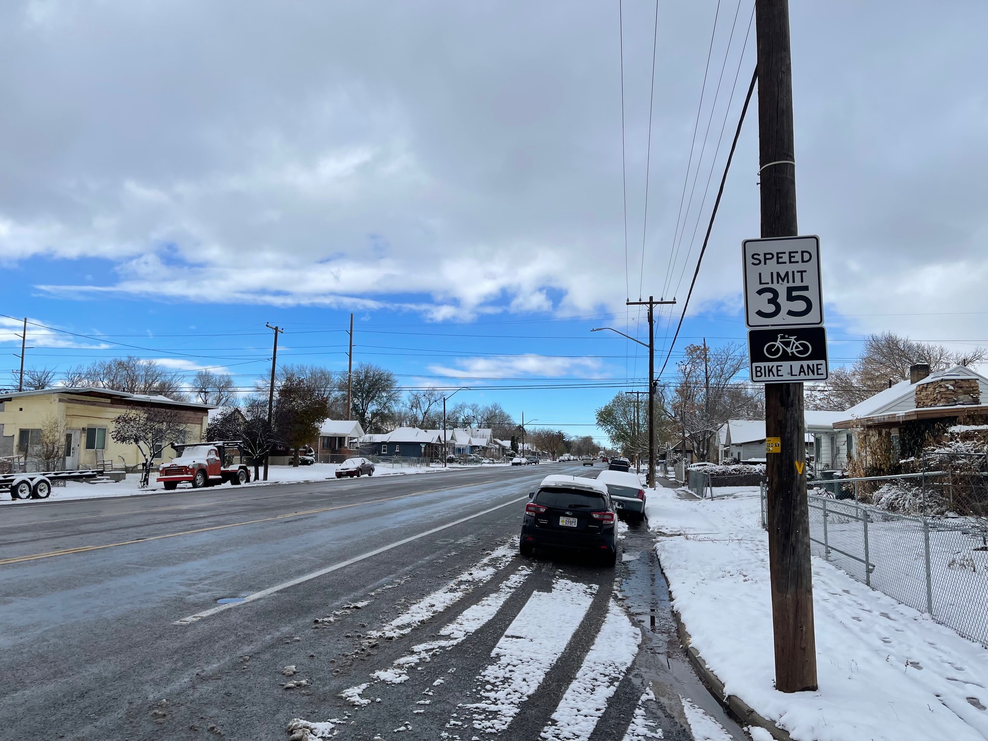
- Focus on the Westside of I-15: narrow the traffic lanes, add buffers to the bike lanes, narrow the center turn lane, and reduce the speed limit to 25 mph. It should not be 35 mph in a residential neighborhood.
- Start immediately with a barrier protected bike lane using quick build methods and Zicla bike lane dividers (https://www.zicla.com/en/zebra-family/ )
- Salt Lake City needs to restripe each of the cross streets with upcoming repaving.
- Improve access to the TRAX stops on 400 S by adding mid-block crosswalks.
Who needs to make these changes?
Primarily, UDOT needs to start the changes on the street since they own the road, but Salt Lake City can and should work with UDOT to jump start this process. UTA has a vested interest in this too.
A Better 400 South Presentation:
Photos of 400 South:
Unfortunately, this is an item on which Dave and I disagree. 400 South is an important arterial road heading to the University of Utah (after shifting and becoming 500 South and then Foothill Drive), and is the only viable route for people coming from north of Salt Lake City to the University. Dave’s views are downtown Salt Lake City-centric, and do not take into consideration people coming into the city from outside the county. Interior surface highways like this are important, especially when they are one of the only ways to get from one side of the city to the other.
Public transit (in this case the 400 South TRAX line) does not “speed by Rice-Eccles Stadium” as Dave indicates, but rather enters the campus at University Street (approximately 1350 East, stops at the stadium, and continues into the heart of the University along South Campus Drive and Mario Cappechi before terminating at Primary Children’s Hospital.
It already takes a little over 20 minutes to travel from I-15 to the University along this route via car, and about 45 minutes via public transit. Eliminating lanes and lowering the speed limit to 25 mph would not only significantly increase that travel time, but will result in more traffic congestion.
I don’t disagree that Salt Lake City needs safer streets and more bicycle and pedestrian accommodations; there are things that can be done to make 400 South safer, but implementing all of the items in Dave’s plan would be too much. If anything, I would focus on implementing those plans on 500 South and 600 South, since as interior surface highways, they essentially terminate at Trolley Square between 600 East and 700 East.
This editorial is spot-on, excuse the pun, because 400 South with the City Library, TRAX and the concentration of residential apartment buildings should be one of the liveliest spots downtown. The reason it isn’t is simply because it is not pedestrian friendly. Being pedestrian friendly should be the first rule of Transit Oriented Development (TOD) districts. Successful city centers with vibrant retail shopping and restaurants districts are not build around high density traffic corridors. This article clearly points out the need for a re-think of the purpose of 400 South. The heavy traffic flow for which 400 South is designed needs to be re-directed. The I-15 freeway traffic flows on and off at 500 and 600 South — why should 400 South be expected to carry the traffic load? This editorial points highlights an opportunity to create a far friendlier, vibrant downtown district.