
By Tom Diegel — If you’re reading the venerable Cycling West, you are no doubt a cycling enthusiast, and though riding a bicycle has a myriad of applications, one event should be familiar to us all: the Tour de France. For over 120 years, this three-week extravaganza of strategic suffering has annually captivated not only geeky cycling enthusiasts but also fans of all sizes and stripes with its blistering flatlands, rolling farmlands, and epic climbs. Sure, the recently completed World Cup impresses as a global gathering of amazing athletes, the Olympics always gives obscure sports fans a feast, and various world championships remain vaguely interesting, but in none of those events do athletes battle day after day for three weeks. Over those three weeks, the highlights — so to speak — come on the passes in the Pyrenees and the Alps, where riders grind up and over and fly down, and the granddaddy of the climbs is the Col du Galibier.
The Galibier has anchored the Tour since early in its history: riders first climbed this 8,668-foot pass in the 1911 Tour, and the race has included it 66 times since. Many of those climbs have determined the final outcome of the entire three-week race. According to the procyclinguk.com website, the Galibier “is famous because it represents the Tour’s old mountain idea: long roads, huge passes, changing weather and riders exposed for hours.” Sure, the Alps have higher passes, but the Galibier almost always marks the high point of the Tour, where the winner can pick up a little bonus of 5,000 euros. It also almost always plays the biggest role in a huge stage because it sits near other comparable passes. This year offers no exception: on Stage 20, July 25, the penultimate day of the Tour, the riders will climb the 24 km, 5.2% Col de la Croix de Fer; the 12 km / 7.4 mile, 7.1% Col du Télégraphe; after a very quick less-than-5 km / 3 mile descent, they will resume climbing for another 18 km/11 miles to the Col du Galibier; then climb the 13 km/8 mi up and over the Col de Sarenne; and then tackle the final climb to l’Alpe d’Huez. And they’ll do all of that after another mountain stage the day before that also ends on l’Alpe d’Huez. Whew!
The Galibier has multiple ways up. From the small city of Briançon, riders take a pretty gentle 20-mile climb up to the lower pass of the Col du Lautaret at 6,600 feet, where a right turn branches up to the Galibier. Another route reaches the Lautaret from the west, where Grenoble lies in the valley at a humble 700 feet, and the road climbs gradually past the rugged, kinda backcountry-oriented, glacier-riddled ski hill of La Grave for a grand total of nearly 8,000 feet of climbing. The last — and most popular, with 80,000 Strava users! — climbs from the Maurienne Valley at 400 feet to the top, going over the modest Col du Télégraphe, where the road drops 1,500 feet mid-climb, for a 6,800-foot climb from the valley.
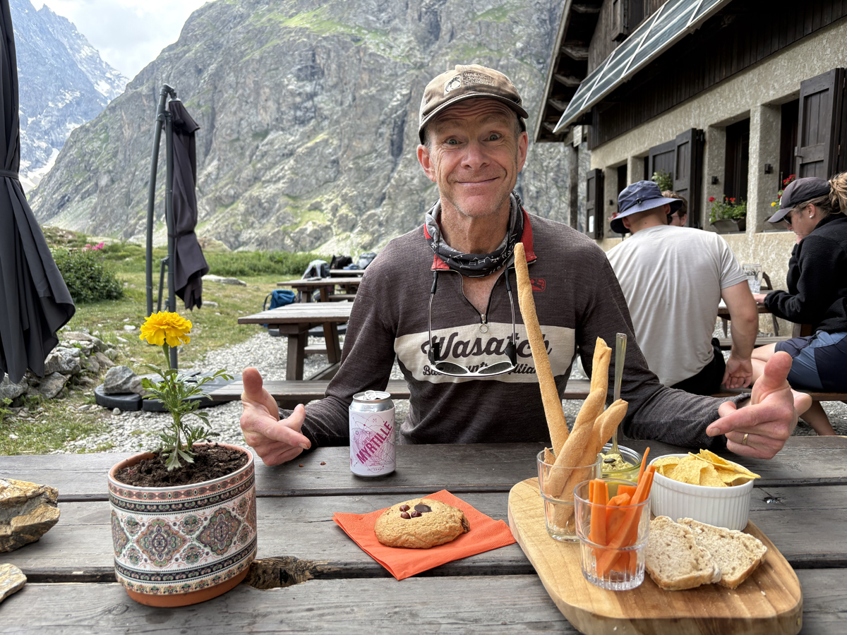
Many years ago, when I, like many folks, only watched the TdF casually and occasionally, I drove along a highway through the Alps in a late-fall rain and shot past an exit that had a sign for “Col du Galibier.” Ah, I know that one, sort of! I’d like to ride that someday! Then, four years ago, on a big tour of Europe, my wife Ashley and I cycled nearby, but we had a bit of a different agenda: working our way east through the Alps instead of focusing on the classic climbs concentrated in the western/French Alps, so I kinda missed it again. Then, this spring on a ski trip, we finally got the chance to ski La Grave, which was great, but as we drove over the Lautaret, we headed past the closed road up to the Galibier. Sigh. Would I ever get a chance to climb this classic?
But as we got back on our bikes in April, we loosely created a route and a plan that would indeed take us on our bikes into the French Alps in late spring and early summer, where we would be able to spend some time going up, down, and around the prolific mountains and passes that lie there.
As we honed in on the two “departments” — French areas that are akin to our counties — of Savoie and Haute-Savoie, we found a couple of great bikepack routes called the Tour de Résistance and the Ultra Gravel Tour des Alpes. Both offered a LOT of amazing climbs and descents in the Alps on very quiet double tracks, gravel roads, one-lane paved roads, and even some singletracks over virtually unknown passes with virtually no cars: an adventurous cyclist’s dream. And the latter route took us up and over the Galibier.
After a week-plus of riding a combination of those two routes, we found ourselves in Briançon, a vibrant city at the crossroads of multiple big valleys and cols in each direction. We spent a half day there checking out the old town and an incredible bridge from the 1700s, then the next half day rode singletrack and doubletrack up the valley toward the Lautaret. About two-thirds of the way up, we stopped at a cute little B&B in the tiny village of Le Monêtier-les-Bains, the highest place to stay before the Lautaret pass itself. We dropped our gear, rode up more singletrack and doubletrack to the Lautaret, and went for a hike from the pass into Écrins National Park. The French Alps are amazing, yet most of the areas have no formal designations, so when we realized that we were near a hike-only national park, we had to go there, and it was indeed even more stunning than what we’d already been seeing in the high Alps!
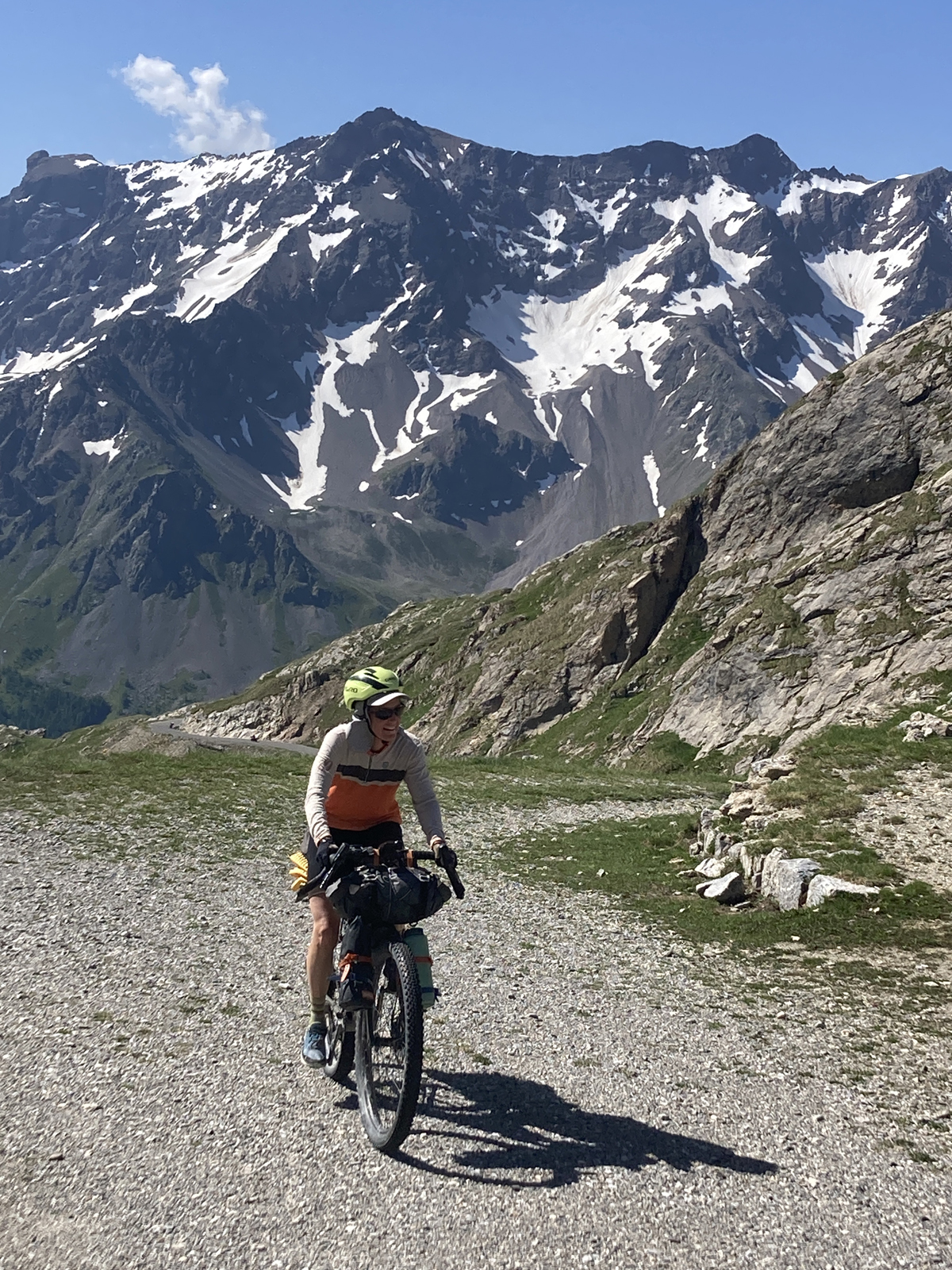
After our night in the lovely little B&B, we headed up the Galibier. But because we had the bikes and were on a “gravel” route, we ascended the pass differently, as gravel routes tend to do. The current paved road up the south side is a modern version of the original and was carved and blasted into the adjacent mountains in the 1930s, so until 1938 the route up to the pass followed a gravel track that averaged a 10% grade, versus the “new” road that averages less than 6%. In 1910, only three guys could make it up the climb without walking, and those three unsurprisingly stood on the Tour’s overall podium.
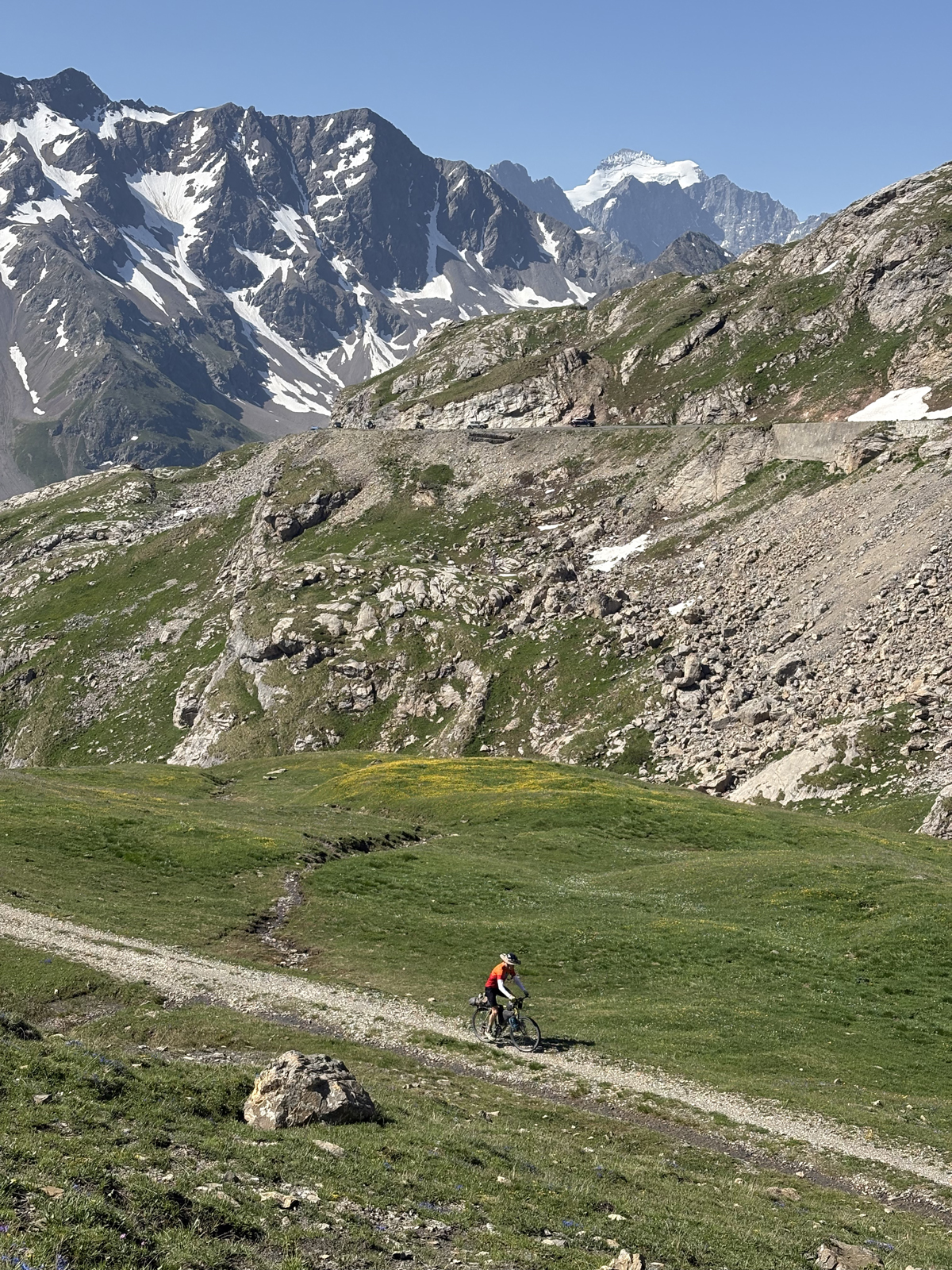
Fortunately, that original track still exists, and it gives today’s minority of riders a nice option if they want to bounce up the gravel track instead of joining the majority of folks on road bikes charging up the more-classic road. Yes, the gravel track may be slower and more challenging, and you aren’t comparing your Strava time to Pogačar’s, but it’s super fun, beautiful, and quiet, with none of the motos, Porsches, or camper vans on the main road that also want to “climb” the Galibier.
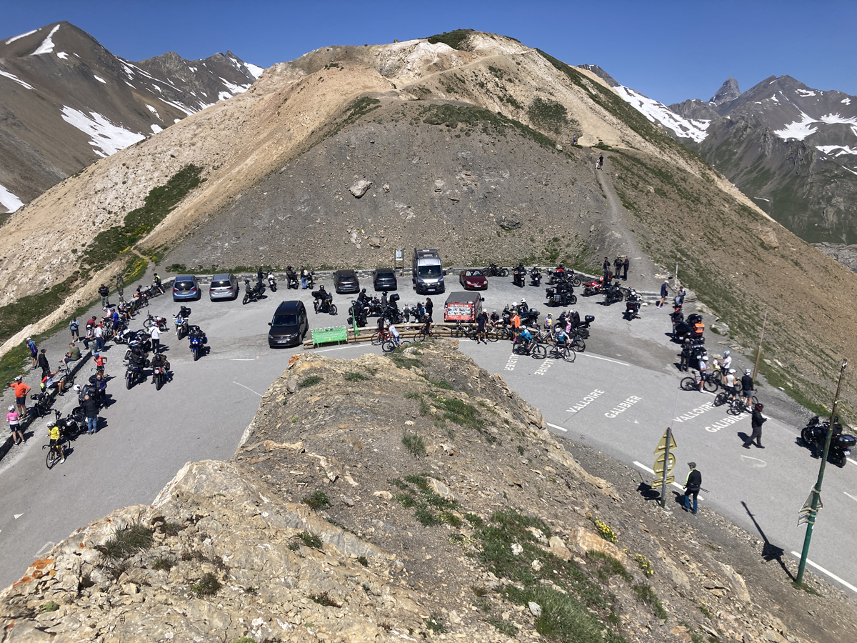
The old road met the new road near the entrance to the tunnel that they busted through the tippy-top of the col in the late 1880s, but of course all of the cyclists carry on up to the top. The pass itself is unusually small and has no infrastructure, so the Tour rarely uses it as a finish, though Andy Schleck of Luxembourg did indeed win the 18th stage of 2011 that finished atop the Galibier after a 60 km solo break that also went over the nearly equally high Col d’Izoard.
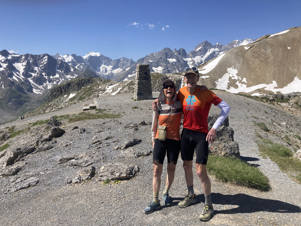
It’s too bad that the racers don’t get to stop and enjoy the views from the col; mountains soar into the sky in every direction, and a couple of nice hikes from the pass don’t get much traffic, since the moto guys wear clunky boots, the RV crowds don’t really hike much, and the typical road riders wear unwalkable shoes. Fortunately, we are geeky enough that we had walkable shoes and could wander around a bit on the pass.
Then comes the descent. The high Alpine passes are well known for their climbs, but let’s be honest: one of the big reasons we love to ride bikes uphill that far is the incredible rush of seemingly endless fast, swoopy turns down mountainsides. It’s about as close to being a swallow or a falcon as we can get!
Below the north side of the pass, a couple of statues can make for a good quick rest on the climb, as long as you stop your Strava! One honors the Tour founder Henri Desgrange, the visionary founder of the Tour de France, who supposedly boldly said, “O, Col Bayard, O, Tourmalet … next to Galibier you are worthless!” The other honors Marco Pantani, the tragic Pirate who, on a rainy day in 1998, famously broke Jan Ullrich in the Tour.
The few kilometers below the pass feature fun switchbacks, and where the road transitions from turns to long straightaways, a nice little refuge sits beside a gravel track to the east that leads to a little lake and a great couple-hour loop hike to more passes, mountains, and lakes — a great way to spend more time appreciating the huge climb you made into the mountains! Below that sits the very nice and mellow ski resort town of Valloire, which has nice, reasonable lodging and a super fun via ferrata route literally on the edge of town, with a sports store, Magnin, that rents via ferrata kits for only ten euros.